Location Intelligence

Drive Smarter Decisions Through Advanced Location Intelligence

We help organizations understand not only what is happening, but where it is happening and why it matters. By combining geospatial data, satellite imagery, operational data and other relevant datasets, we transform location data into actionable insights that support smarter decisions across operations, sustainability, and growth.
Talk to an Expert
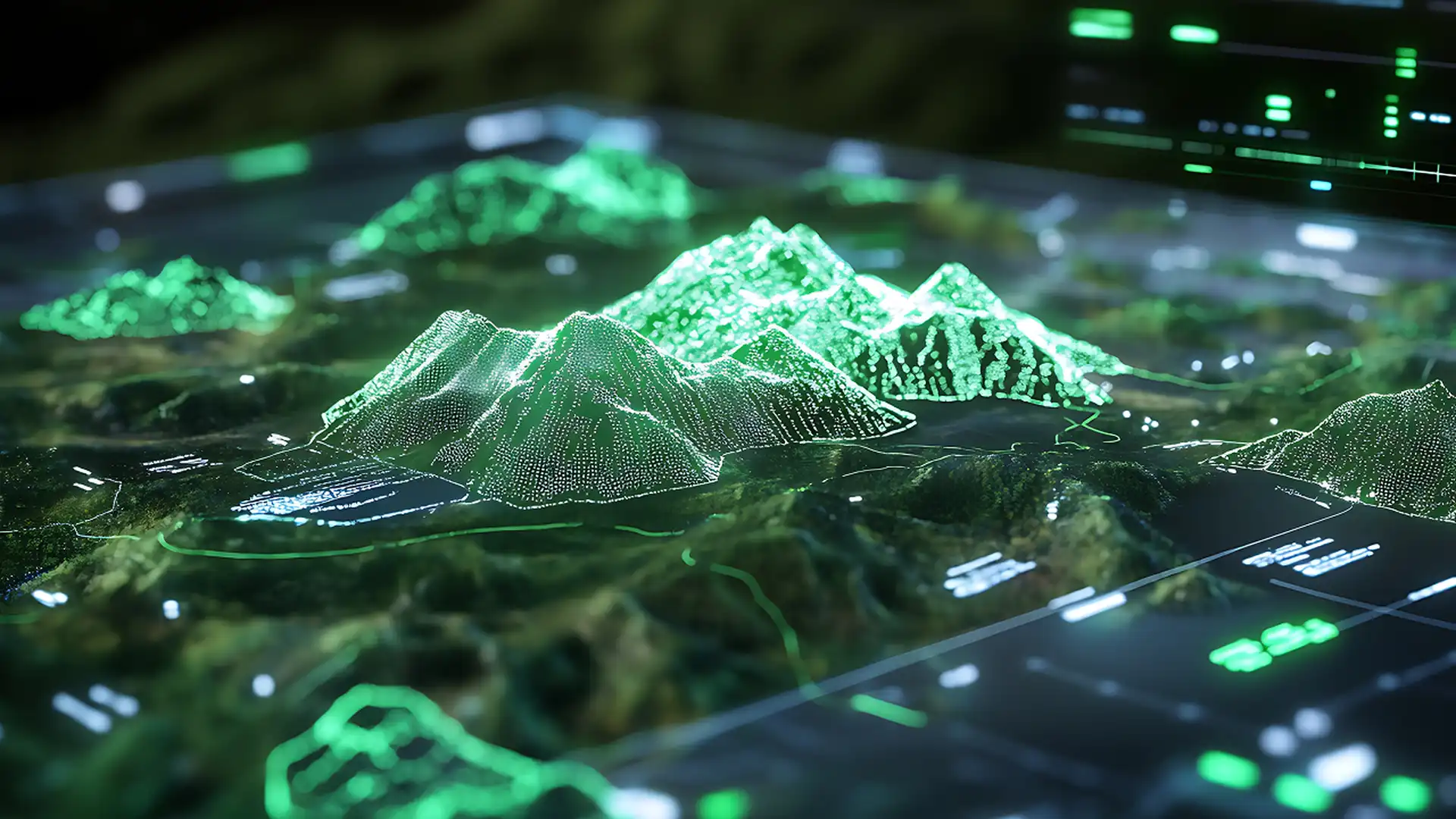
3D topographical map visualization representing location intelligence and geospatial data

Why Location Intelligence?

Location adds context to every business decision.

Understanding where things happen helps organizations uncover opportunities, reduce risk, optimize operations, and make more informed decisions.
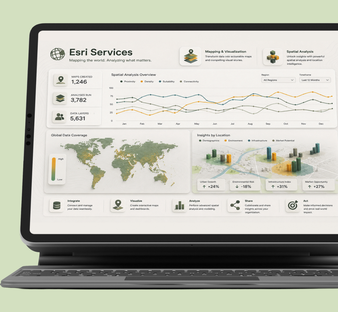
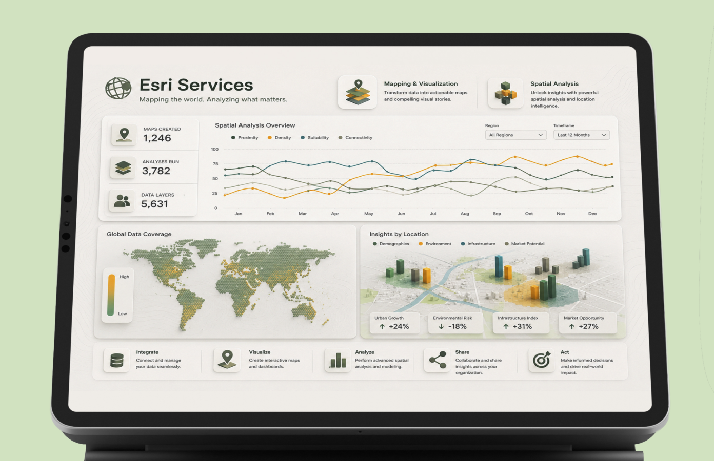
3D geographic visualization showing terrain analysis and spatial data patterns representing location intelligence3D geographic terrain visualization for location intelligence - mobile version

What You Can Achieve

Atom icon

Optimize Operations

Improve supply chains, logistics, and operational networks.

Selection plus icon

Smarter Expansion Planning

Select the right locations for growth.

Magnifying glass icon

Identify Opportunities & Risks

Gain visibility across regions and markets.

Plant icon

Environmental Monitoring

Track environmental impact at scale.

Shield check icon

Sustainability Compliance

Support reporting and regulatory initiatives.

Chart line up icon

Actionable Insights

Transform complex data into business value.

Tailored Solutions

Practical analytics solutions shaped by business context, data maturity, and operational goals.

Designed to fit how the business actually operates.

Map trifold icon

Custom Geospatial Models

Models built around your unique geography and business logic.

Compass icon

Site Selection Tools

Identify the right locations with data-driven confidence.

Magnifying glass icon

Territory Analysis

Optimize boundaries and uncover high-potential opportunities.

Warning icon

Risk Scoring

Assess risk factors and prioritize with greater accuracy.

Binoculars icon

Operational Monitoring

Track performance and detect issues in real time.

Plant icon

Sustainability Reporting

Measure impact and communicate results with clarity.

Request a tailored approach

Data Integration

All your data. One trusted foundation.

We integrate and prepare data from multiple sources, creating a trusted data foundation that helps teams make better decisions with confidence.

CleaningStandardizingEnrichingOrganizing dataTotal Assets18,340

What this enables

Trend up icon

Performance

Track and improve what matters.

Shield check icon

Risk

Identify issues and mitigate early

Line segments icon

Demand

Understand trends and opportunities.

Cube focus icon

Assets

Monitor and optimize your resources.

Equalizer icon

Market Conditions

Stay informed and act with confidence.

Maps & Digital Twins

See places, operations, and infrastructure more clearly.

Interactive maps and digital twins connect spatial context with live data so teams can monitor, compare, and plan with confidence
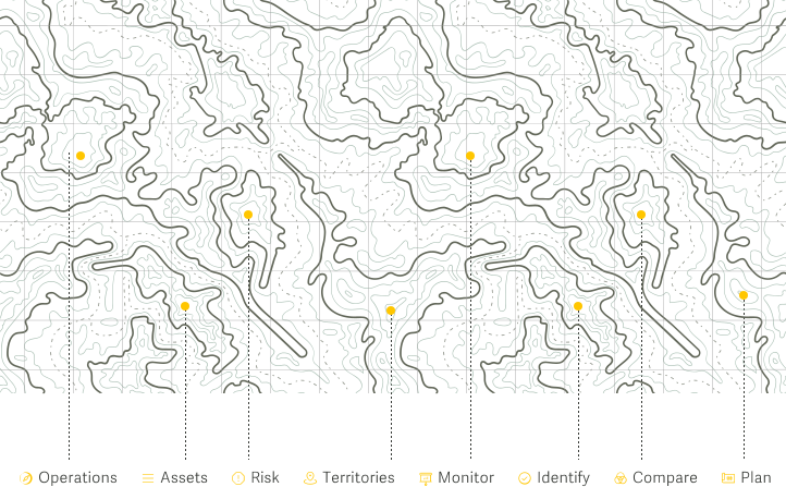

Maps and digital twins: live data, decision support, scenario planning
Live data broadcast icon

Live Data

Decision support lifebuoy icon

Decision support

Scenario planning icon

Scenario planning

Enterprise Analytics

Turn data into reliable decision systems

We build dashboards, metrics, predictive models, and automated reporting that help teams make scalable, governed decisions across the business.
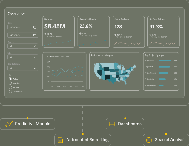

Enterprise analytics dashboard: dashboards, predictive models, automated reporting
Operations gear icon

Operations

Improve efficiency and performance

Finance donut chart icon

Finance

Track results and optimize outcomes

Sales line chart icon

Sales

Drive growth and maximize opportunities

Sustainability leaf icon

Sustainability

Measure impact and support initiatives

Logistics cube icon

Logistics

Optimize assets and reduce costs

Growth planning icon

Growth Planning

Plan ahead and unlock new potencial

Common Use Cases

Location Intelligence creates value across sustainability initiatives and commercial operation.

Environmental Intelligence

Environmental Intelligence

Deforestation-Free Supply Chains

EUDR Readiness

Forest Conservation & Restoration

Biomass & Carbon Analysis

Sustainability Monitoring

Nature Mapping & Ecosystem Monitoring

Commercial Intelligence

Commercial Intelligence

Site Selection & Expansion Planning

Network Optimization

Territory & Performance Analysis

Demand Forecasting

Market Impact Assessment

Distribution & Supply Chain Analysis

Sustainability & Compliance

Leverage geospatial intelligence and enterprise analytics to support compliance, traceability, and sustainability reporting.

EUDR compliance: supply chain mapping and deforestation monitoring

EUDR Compliance

Map supply chains, monitor land-use change with satellite imagery, assess deforestation and sourcing risks, and improve traceability from origin to operation.

CSRD reporting: integrated sustainability reporting

CSRD Reporting

Support CSRD-aligned reporting by integrating emissions, operational, financial, supplier, and location-based data into consistent sustainability reporting processes.

Partnerships

 Frequently Asked Questions

Do you offer Greenfield or Brownfield Analysis to help us understand how to grow or optimize our footprint?

Yes, through our Location Intelligence and Supply Chain Services, we can help you integrate, analyze, visualize and optimize your company's footprint to give you the best chances of success.

Can you integrate data from third party vendors and our proprietary data?

Yes, no Location Intelligence project would be complete without integrating data from sources like the US Census, Satellite Imagery

Is Satellite Imagery expensive?

Depends on the level of resolution. Satellite imagery with low resolution can be obtained for free through public repositories, but high-resolution imagery requires payments.

Can you help with EUDR Compliance?

Yes, through a combination of our services we can help implement

Can you help with CSRD Compliance?

Yes, through a combination of our Supply Chain Services we can help implement automated reports that will give you visibility into your Scope 1, Scope 2 and Scope 3 emissions. We follow the GHG Protocol to estimate these emissions and can give you deeper visibility to help organize your GHG mitigation or reduction efforts.

Clients choose Ventagium for our focus on practical value and partnership. We deliver tailored solutions, stay close to the business, and prioritize clarity and adoption.

Success is measured by adoption, clarity, and impact. When teams trust the data, use the tools, and make better decisions faster, the work is successful.

Ready to Unlock the Power of Location?

The most valuable business insights are not only hidden in your data — they are hidden in your geography.

Learn More

Contact Us

We are here to help you with all your data analytics, data engineering, business intelligence, data science, and digital transformation needs. Our team is ready to assist you. Fill the form and one of our experts will reach out to you.

(if any)
0/300

By pressing the submit button, I agree to being contacted by email and/or phone by Ventagium Data Consulting. I also understand that any information I’ve shared in this form is subject to Ventagium's Privacy Policy.

Thank you! Your submission has been received!
Oops! Something went wrong while submitting the form.
© 2026 Ventagium. All right reserved.
Microsoft Solutions Partner badge for Data and AI on Azure with Specialist certification in Analytics